2014
SJ9097 : Fairfield, wall
taken 10 years ago, near to Droylsden, Tameside, England
This is 1 of 19 images, with title starting with Fairfield in this square
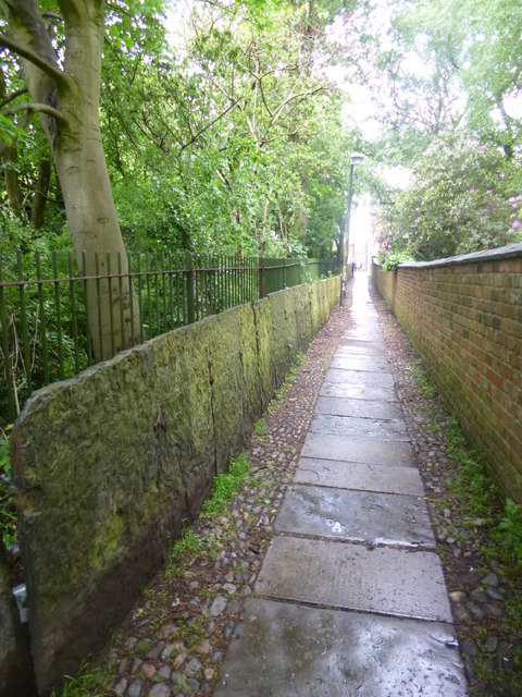
Fairfield, wall
Lining one side of the path from Fairfield Avenue to the Moravian Settlement; slabs of sandstone bolted together.
 Map © Crown Copyright")
TIP: Click the map for more Large scale mapping
- Grid Square
- SJ9097, 220 images (more nearby 🔍)
- Photographer
- Mike Faherty (more nearby)
- Date Taken
- Sunday, 25 May, 2014 (more nearby)
- Submitted
- Tuesday, 27 May, 2014
- Subject Location
-
OSGB36:
 SJ 9013 9756 [10m precision]
WGS84: 53:28.4805N 2:9.0102W - Camera Location
-
OSGB36: SJ 9013 9756
- View Direction
- NORTH (about 0 degrees)