2014
NG3935 : Grassy slopes descending to Allt Meadale
taken 10 years ago, 3 km from Fernilea, Isle of Skye, Scotland
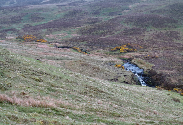
Grassy slopes descending to Allt Meadale
The Allt Meadale running below slopes descending from an estate and farm road above its north side. The distant slope above the stream is named as Brae Meadale on OS maps.
 Map © Crown Copyright")
TIP: Click the map for more Large scale mapping
- Grid Square
- NG3935, 7 images (more nearby 🔍)
- Photographer
- Trevor Littlewood (more nearby)
- Date Taken
- Thursday, 15 May, 2014 (more nearby)
- Submitted
- Friday, 30 May, 2014
- Subject Location
-
OSGB36:
 NG 3973 3511 [10m precision]
WGS84: 57:19.9191N 6:19.5738W - Camera Location
-
OSGB36: NG 3963 3515
- View Direction
- East-southeast (about 112 degrees)