TL4557 : The Emperor, Hills Rd
taken 10 years ago, near to Cambridge, Cambridgeshire, England
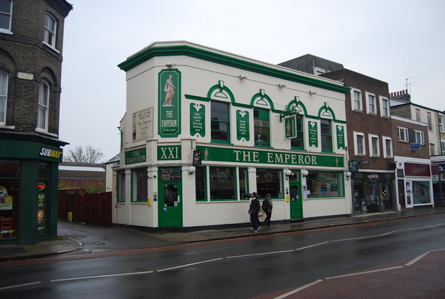
See other images of Pubs of Cambridge
Hills Road is an arterial road (part of the A1307) in southeast Cambridge. It runs between Regent Street at the junction with Lensfield Road and Gonville Place (the A603) to the northwest and a roundabout by the Cambridge Biomedical Campus, continuing as Babraham Road (also part of the A1307) to the southeast.
On the corner with Lensfield Road is the Church of Our Lady and the English Martyrs. To the west of the road is the Cambridge University Botanic Garden. The Cambridge Biomedical Campus is to the southwest of the roundabout at the southeastern end, at the edge of the city and houses Addenbrooke's Hospital.
Also on Hills Road are:
Homerton College
The Perse School
Hills Road Sixth Form College
Church of St John the Evangelist
 Map © Crown Copyright")
- Grid Square
- TL4557, 2143 images (more nearby 🔍)
- Photographer
- N Chadwick (more nearby)
- Date Taken
- Sunday, 20 April, 2014 (more nearby)
- Submitted
- Monday, 2 June, 2014
- Subject Location
-
OSGB36:
 TL 4567 5750 [10m precision]
WGS84: 52:11.7897N 0:7.7935E - Camera Location
-
OSGB36: TL 4566 5750
- View Direction
- EAST (about 90 degrees)