2007
SK1721 : Home Farm
taken 17 years ago, near to Rangemore, Staffordshire, England
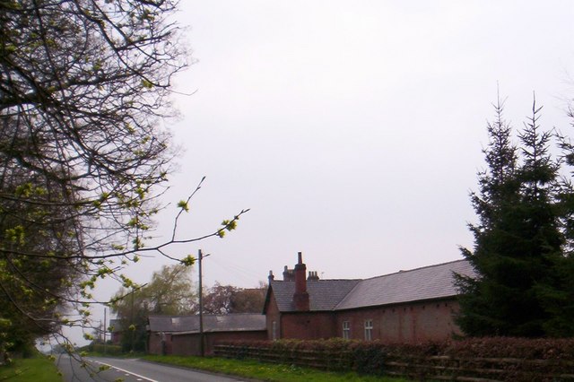
Home Farm
At a crest of a hill
 Map © Crown Copyright")
TIP: Click the map for more Large scale mapping
- Grid Square
- SK1721, 13 images (more nearby 🔍)
- Photographer
- S Parish (more nearby)
- Date Taken
- Thursday, 12 April, 2007 (more nearby)
- Submitted
- Saturday, 14 April, 2007
- Subject Location
-
OSGB36:
 SK 176 219 [100m precision]
WGS84: 52:47.7060N 1:44.3901W - Camera Location
-
OSGB36: SK 176 220
- View Direction
- South-southwest (about 202 degrees)