2014
NM9247 : A828, South of Portnacroish
taken 10 years ago, near to Portnacroish, Argyll And Bute, Scotland
This is 1 of 4 images, with title starting with A828 in this square
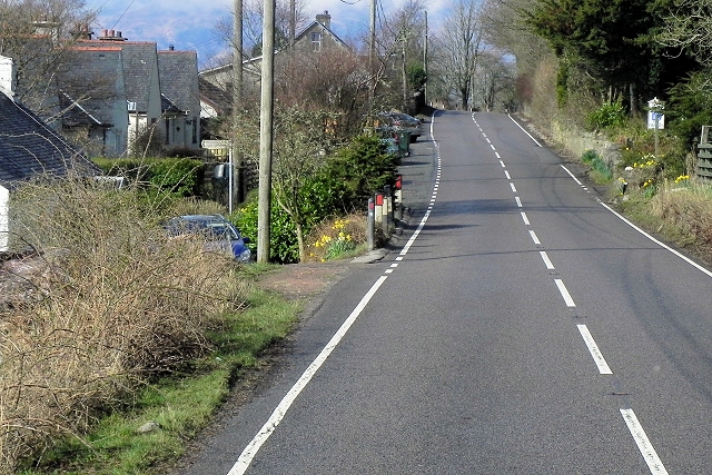
A828, South of Portnacroish
The A828 road is a primary route along the western coast of Scotland. It provides an important link between Fort William and Oban although it doesn't actually reach either town. It runs from the Ballachulish Roundabout on the A82 in the north, to Connel on the A85 in the south; a distance of 26 miles.
See other images of The A828
See other images of The A828
 Map © Crown Copyright")
TIP: Click the map for more Large scale mapping
- Grid Square
- NM9247, 136 images (more nearby 🔍)
- Photographer
- David Dixon (more nearby)
- Date Taken
- Wednesday, 26 March, 2014 (more nearby)
- Submitted
- Sunday, 8 June, 2014
- Subject Location
-
OSGB36:
 NM 9287 4719 [10m precision]
WGS84: 56:34.2488N 5:22.3938W - Camera Location
-
OSGB36: NM 9292 4718
- View Direction
- West-northwest (about 292 degrees)