2014
NN0460 : Loch Linnhe
taken 10 years ago, near to North Ballachulish, Highland, Scotland
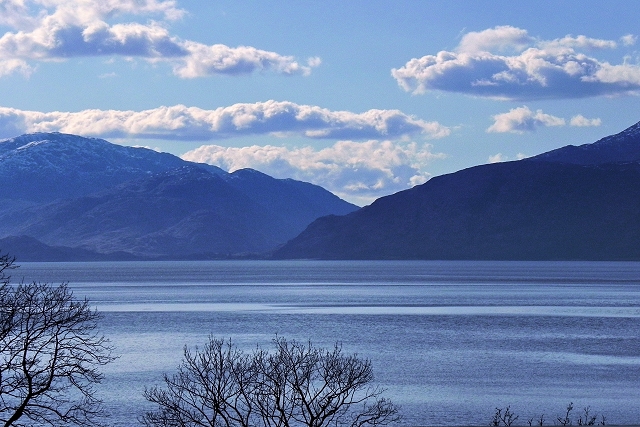
Loch Linnhe
View from North Ballachulish.
Loch Linnhe, Scotland
Loch Linnhe is a sea loch on the west coast of Scotland. The name Linnhe is derived from the Gaelic word linne, meaning "pool". The part upstream of Corran is known in Gaelic as An Linne Dhubh (the black pool, originally known as Loch Abar), and downstream as An Linne Sheileach (the salty pool).
Loch Linnhe follows the line of the Great Glen Fault, and is the only sea loch along the fault. Approximately 31 miles in length, it opens onto the Firth of Lorne at its south western end. The town of Fort William lies at the northeast end of the loch, at the mouth of the River Lochy.
 Map © Crown Copyright")
TIP: Click the map for more Large scale mapping
- Grid Square
- NN0460, 8 images (more nearby 🔍)
- Photographer
- David Dixon (more nearby)
- Date Taken
- Wednesday, 26 March, 2014 (more nearby)
- Submitted
- Tuesday, 10 June, 2014
- Subject Location
-
OSGB36:
 NN 044 605 [100m precision]
WGS84: 56:41.7252N 5:11.7499W - Camera Location
-
OSGB36: NN 052 606
- View Direction
- WEST (about 270 degrees)