2014

TM3036 : Poppies in Rape fields, Gulpher Road

taken 10 years ago, near to Walton, Suffolk, England

Poppies in Rape fields, Gulpher Road
Gulpher

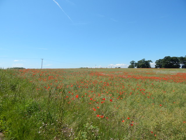
Gulpher is a place located on Gulpher Road, North of the town of Felixstowe, in the civil parish of Felixstowe, in Suffolk Coastal, Suffolk, England. Gulpher was recorded in the Domesday Book as "Gulpelea" LinkExternal link at which time it had 5 households, which was very small compared to other settlements LinkExternal link. Gulpher has several farms and houses including Gulpher Hall, which is Grade II Listed LinkExternal link and Gulpher Business Park LinkExternal link. Gulpher Pond was restored by The Felixstowe Society in co-operation with the Landowner P. Adams & Sons in 2006. Large amounts of silt were removed to depen it LinkExternal link. Gulpher Mill was situated on a marshy creek near the mouth of the River Deben. It was submerged by a see flood probably in February 1288 and was demolished 1290 and replaced with a wind mill LinkExternal link. in Gulpher Road runs from High Street in Walton to Ferry Road in Old Felixstowe and is the location of Felixstowe Golf Centre LinkExternal link. There were plans in October 2013 to turn Gulpher Road into an official "quiet lane" to cut traffic LinkExternal link as of June 2014 there are signs for a quiet lane. There are objections to build 190 homes on the field next to the site of the new Felixstowe Academy building because people would use it as a rat run LinkExternal link.


Creative Commons Licence [Some Rights Reserved]   © Copyright Hamish Griffin and licensed for reuse under this Creative Commons Licence.
This photo is linked from: Automatic Clusters: · Poppies in Rape Fields [3] Title Clusters: · Poppies in Rape fields, Gulpher Road [3] ·
1:50,000 Modern Day Landranger(TM) Map © Crown Copyright
+
+
1:50,000 Modern Day Landranger(TM) Map © Crown Copyright
TIP: Click the map for more Large scale mapping
Grid Square
TM3036, 35 images   (more nearby 🔍)
Photographer
Hamish Griffin   (more nearby)
Date Taken
Tuesday, 10 June, 2014   (more nearby)
Submitted
Friday, 13 June, 2014
Subject Location
OSGB36: geotagged! TM 3002 3670 [10m precision]
WGS84: 51:58.8668N 1:20.8880E
Camera Location
OSGB36: geotagged! TM 3007 3672
View Direction
West-southwest (about 247 degrees)
Clickable map
+
NW N NE
W Go E
SW S SE
Image classification(about): Geograph
This page has been viewed about 25 times
You are not logged in login | register