2014
SK7088 : Former sand and gravel pit
taken 10 years ago, near to Wiseton, Nottinghamshire, England
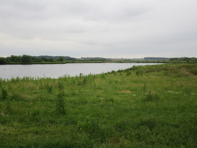
Former sand and gravel pit
One of many in this area which support a considerable amount of wildlife.
 Map © Crown Copyright")
TIP: Click the map for more Large scale mapping
- Grid Square
- SK7088, 2 images (more nearby 🔍)
- Photographer
- Jonathan Thacker (more nearby)
- Date Taken
- Sunday, 15 June, 2014 (more nearby)
- Submitted
- Sunday, 15 June, 2014
- Subject Location
-
OSGB36:
 SK 7085 8821 [10m precision]
WGS84: 53:23.1594N 0:56.1738W - Camera Location
-
OSGB36: SK 7089 8803
- View Direction
- North-northwest (about 337 degrees)