2014
NN5527 : Glen Ogle, A85
taken 10 years ago, 4 km ESE of Ardchyle, Stirling, Scotland
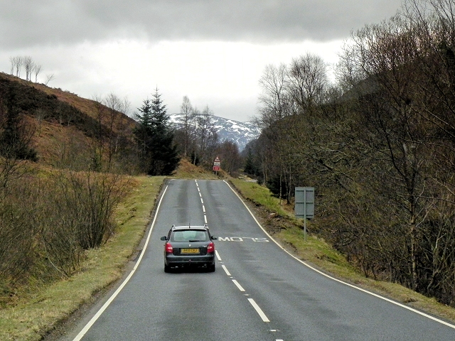
Glen Ogle, A85
Glen Ogle (Gleann Ogail) is a spectacular valley that extends for seven miles north westwards from Lochearnhead to Lix Toll, where it opens into Glen Dochart.
The A85
The A85 is a major road running for 115 miles from Oban to Dundee, providing a nearly continuous route linking the east and west coasts of Scotland, passing some of the countrys highest mountains.
Some statistics seem to show that the stretch of the A85 between Oban and Tyndrum is among the ten most dangerous roads in Scotland (LinkBBC Scotland)
 Map © Crown Copyright")
TIP: Click the map for more Large scale mapping
- Grid Square
- NN5527, 32 images (more nearby 🔍)
- Photographer
- David Dixon (more nearby)
- Date Taken
- Friday, 28 March, 2014 (more nearby)
- Submitted
- Monday, 16 June, 2014
- Subject Location
-
OSGB36:
 NN 5598 2793 [10m precision]
WGS84: 56:25.2926N 4:20.1877W - Camera Location
-
OSGB36: NN 5595 2797
- View Direction
- Southeast (about 135 degrees)