2014
SU0929 : Barley near Bulbridge
taken 10 years ago, near to Netherhampton, Wiltshire, England
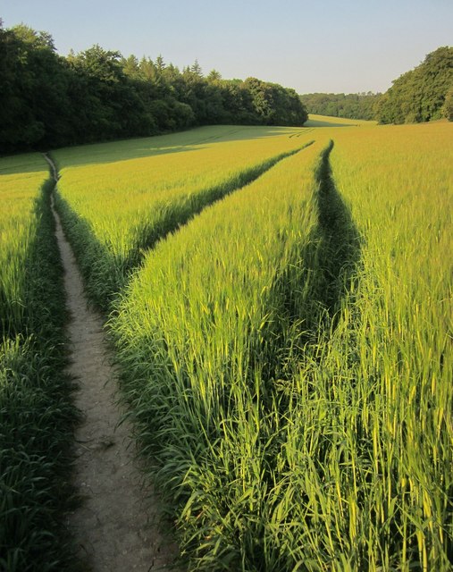
Barley near Bulbridge
Footpath WILT11 runs past tramlines through the crop towards Bruce's Hangings. SU0929 : Valley running towards Warran Down shows a similar view but different land use.
 Map © Crown Copyright")
TIP: Click the map for more Large scale mapping
- Grid Square
- SU0929, 24 images (more nearby 🔍)
- Photographer
- Derek Harper (more nearby)
- Date Taken
- Saturday, 21 June, 2014 (more nearby)
- Submitted
- Sunday, 22 June, 2014
- Subject Location
-
OSGB36:
 SU 0914 2996 [10m precision]
WGS84: 51:4.1340N 1:52.2559W - Camera Location
-
OSGB36: SU 0915 2999
- View Direction
- South-southwest (about 202 degrees)