2014
NS3381 : The Red Burn
taken 10 years ago, near to Colgrain, Argyll And Bute, Scotland
This is 1 of 2 images, with title The Red Burn in this square
The Red Burn
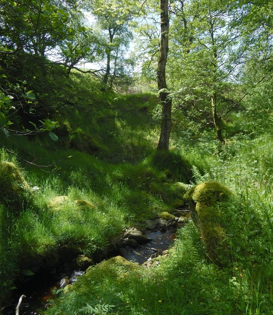
A short section of the burn flows just within the corner of the OS grid square.
Further uphill, the burn flows through a deep glen: NS3382 : The glen of the Red Burn. However, in the area shown in the present picture, it is descending much less steeply, and its glen is much shallower.
In this view, the burn is flowing away from the photographer's position. For a view upstream from the same spot, see NS3381 : The Red Burn.
 Map © Crown Copyright")
TIP: Click the map for more Large scale mapping
- Grid Square
- NS3381, 10 images (more nearby 🔍)
- Photographer
- Lairich Rig (more nearby)
- Date Taken
- Friday, 6 June, 2014 (more nearby)
- Submitted
- Saturday, 28 June, 2014
- Subject Location
-
OSGB36:
 NS 3301 8195 [10m precision]
WGS84: 56:0.0799N 4:40.7676W - Camera Location
-
OSGB36: NS 3302 8196
- View Direction
- Southwest (about 225 degrees)