2014
C7211 : The summit of Benbradagh
taken 10 years ago, 4 km ENE of Dungiven, Co Londonderry, Northern Ireland
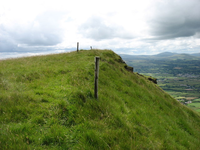
The summit of Benbradagh
Benbradagh is a 465m Marilyn in the north-east Sperrins.
My 1998 copy of Discoverer sheet 8 shows a road crossing the range here, but this has long been closed and the furthest that you can now drive (from the west) is to C727102.
My 1998 copy of Discoverer sheet 8 shows a road crossing the range here, but this has long been closed and the furthest that you can now drive (from the west) is to C727102.
Loading map... (JavaScript required)
- Grid Square
- C7211, 6 images (more nearby 🔍)
- Photographer
- David Purchase (more nearby)
- Date Taken
- Sunday, 29 June, 2014 (more nearby)
- Submitted
- Sunday, 29 June, 2014
- Subject Location
-
Irish:
 C 7220 1135 [10m precision]
WGS84: 54:56.6706N 6:52.4456W - Camera Location
-
Irish: C 7221 1137
- View Direction
- South-southwest (about 202 degrees)