2014
SU6044 : St.Mary's churchyard
taken 10 years ago, near to Axford, Hampshire, England
This is 1 of 2 images, with title St.Mary's churchyard in this square
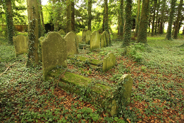
St.Mary's churchyard
Headstones in the overgrown churchyard of St.Mary at Nutley. There was a church here from c1100 until 1845 when it was demolished to make way for a new church built in 1846. A dwindling congregation and increasing repair bills necessitated demolition of the Victorian church in 1956.
 Map © Crown Copyright")
TIP: Click the map for more Large scale mapping
- Grid Square
- SU6044, 18 images (more nearby 🔍)
- Photographer
- Richard Croft (more nearby)
- Date Taken
- Thursday, 26 June, 2014 (more nearby)
- Submitted
- Sunday, 29 June, 2014
- Subject Location
-
OSGB36:
 SU 6093 4450 [10m precision]
WGS84: 51:11.7887N 1:7.7632W - Camera Location
-
OSGB36: SU 6094 4450
- View Direction
- West-northwest (about 292 degrees)