2013
SX9273 : Brook through Broadmeadow industrial estate, Teignmouth
taken 11 years ago, near to Shaldon, Devon, England
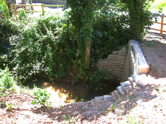
Brook through Broadmeadow industrial estate, Teignmouth
The OS map shows, a little way upstream (left), Issues, although the brook probably comes down the length of Broadmeadow. The local street map shows the name 'Daymans' alongside the brook, as though it were a housename, but the only feature in that position is a gas installation. Old maps do not show a property there: a puzzle. The watercourse runs down a narrow green corridor through the industrial estate, then under Bishopsteignton Road to join the River Teign.
 Map © Crown Copyright")
TIP: Click the map for more Large scale mapping
- Grid Square
- SX9273, 131 images (more nearby 🔍)
- Photographer
- Robin Stott (more nearby)
- Date Taken
- Saturday, 6 July, 2013 (more nearby)
- Submitted
- Saturday, 5 July, 2014
- Subject Location
-
OSGB36:
 SX 9271 7300 [10m precision]
WGS84: 50:32.8134N 3:30.9394W - Camera Location
-
OSGB36: SX 9271 7300
- View Direction
- Southeast (about 135 degrees)