2014
SU6229 : Wheatfield east of Old Park Road
taken 10 years ago, near to Ropley Dean, Hampshire, England
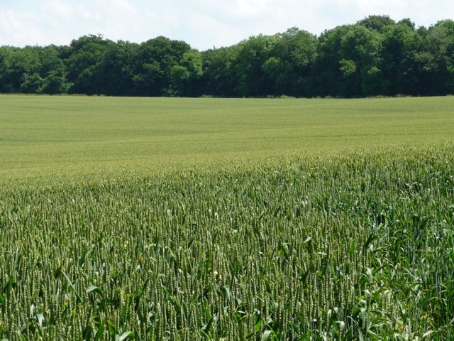
Wheatfield east of Old Park Road
The trees are on the north-west boundary of Bramdean Common.
 Map © Crown Copyright")
TIP: Click the map for more Large scale mapping
- Grid Square
- SU6229, 27 images (more nearby 🔍)
- Photographer
- Christine Johnstone (more nearby)
- Date Taken
- Tuesday, 24 June, 2014 (more nearby)
- Submitted
- Thursday, 10 July, 2014
- Subject Location
-
OSGB36:
 SU 6265 2989 [10m precision]
WGS84: 51:3.8961N 1:6.4386W - Camera Location
-
OSGB36: SU 6262 2991
- View Direction
- Southeast (about 135 degrees)