2014
NT6825 : Fields of barley in the Teviot floodplain
taken 10 years ago, near to Nisbet, Scottish Borders, Scotland
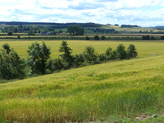
Fields of barley in the Teviot floodplain
 Map © Crown Copyright")
TIP: Click the map for more Large scale mapping
- Grid Square
- NT6825, 26 images (more nearby 🔍)
- Photographer
- Oliver Dixon (more nearby)
- Date Taken
- Tuesday, 22 July, 2014 (more nearby)
- Submitted
- Wednesday, 23 July, 2014
- Subject Location
-
OSGB36:
 NT 6803 2563 [10m precision]
WGS84: 55:31.4016N 2:30.4760W - Camera Location
-
OSGB36: NT 68097 25729
- View Direction
- Southwest (about 225 degrees)