2007
NY7766 : Pasture, Bradley Burn and Roman milestone, near Vindolanda
taken 20 years ago, near to Henshaw, Northumberland, England
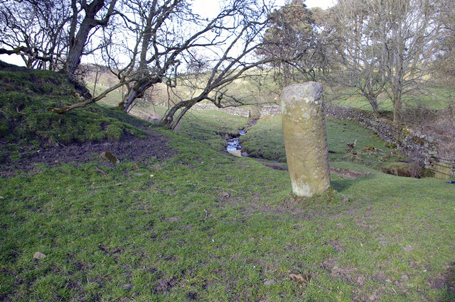
Pasture, Bradley Burn and Roman milestone, near Vindolanda
Just to the north of the line of the Stanegate Roman road. The fort at Vindolanda lies about 130m to the southwest. The mound to the left (only part of which can be seen) is shown on OS maps as a tumulus. The milestone indicates the 15th Roman mile west of Corbridge.


TIP: Click the map for more Large scale mapping
- Grid Square
- NY7766, 172 images (more nearby 🔍)
- Photographer
- Phil Champion (more nearby)
- Date Taken
- Sunday, 8 April, 2007 (more nearby)
- Submitted
- Sunday, 22 April, 2007
- Subject Location
-
OSGB36:
 NY 771 664
[100m precision]
WGS84: 54:59.4993N 2:21.5662W - Camera Location
-
OSGB36:
NY 771 664
- View Direction
- Northeast (about 45 degrees)


