2014
NZ1126 : House, once The Malt Shovel
taken 10 years ago, near to Butterknowle, County Durham, England
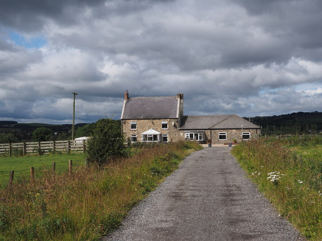
House, once The Malt Shovel
The Malt Shovel was still a pub until at least 2006; Hugh Mortimer's photograph shows it to be so Link.
The old pub is passed by a minor road from which the farm road in the foreground leaves.
The old pub is passed by a minor road from which the farm road in the foreground leaves.
 Map © Crown Copyright")
TIP: Click the map for more Large scale mapping
- Grid Square
- NZ1126, 9 images (more nearby 🔍)
- Photographer
- Trevor Littlewood (more nearby)
- Date Taken
- Sunday, 27 July, 2014 (more nearby)
- Submitted
- Sunday, 27 July, 2014
- Subject Location
-
OSGB36:
 NZ 1137 2644 [10m precision]
WGS84: 54:37.9778N 1:49.5229W - Camera Location
-
OSGB36: NZ 1144 2645
- View Direction
- West-southwest (about 247 degrees)