2014
ST6076 : Junction of Haydon Gardens with Romney Avenue
taken 10 years ago, near to Stapleton, Bristol, England
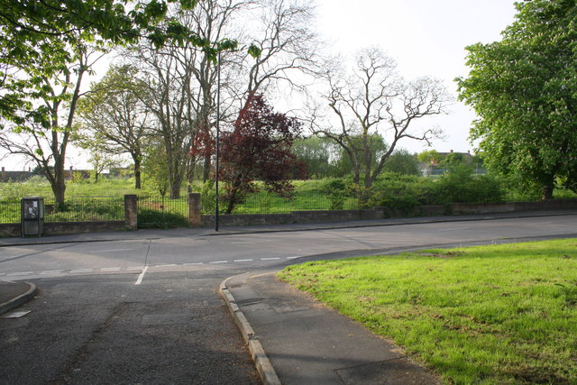
Junction of Haydon Gardens with Romney Avenue
On the far side of Romney Avenue is the site of Romney Avenue School, now demolished.
 Map © Crown Copyright")
TIP: Click the map for more Large scale mapping
- Grid Square
- ST6076, 67 images (more nearby 🔍)
- Photographer
- Roger Templeman (more nearby)
- Date Taken
- Saturday, 3 May, 2014 (more nearby)
- Submitted
- Monday, 28 July, 2014
- Subject Location
-
OSGB36:
 ST 6077 7648 [10m precision]
WGS84: 51:29.1541N 2:33.9824W - Camera Location
-
OSGB36: ST 6080 7645
- View Direction
- Northwest (about 315 degrees)