2014
SX5148 : Path through Churchwood Valley
taken 10 years ago, near to Wembury, Devon, England
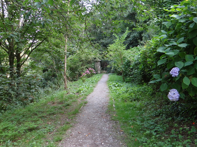
Path through Churchwood Valley
 Map © Crown Copyright")
TIP: Click the map for more Large scale mapping
- Grid Square
- SX5148, 156 images (more nearby 🔍)
- Photographer
- Debbie J (more nearby)
- Date Taken
- Wednesday, 30 July, 2014 (more nearby)
- Submitted
- Friday, 8 August, 2014
- Subject Location
-
OSGB36:
 SX 517 489 [100m precision]
WGS84: 50:19.3186N 4:5.0177W - Camera Location
-
OSGB36: SX 518 490
- View Direction
- Southwest (about 225 degrees)