2014
SX5847 : Drinking trough by the coast path
taken 10 years ago, near to Battisborough Cross, Devon, England
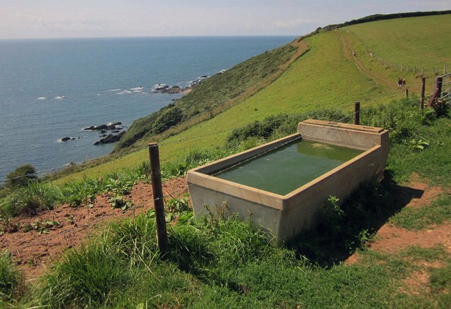
Drinking trough by the coast path
Perched above Ryder's Hole, with rocks below at Blackaterry Point and Wadham Rocks.
 Map © Crown Copyright")
TIP: Click the map for more Large scale mapping
- Grid Square
- SX5847, 27 images (more nearby 🔍)
- Photographer
- Derek Harper (more nearby)
- Date Taken
- Sunday, 3 August, 2014 (more nearby)
- Submitted
- Saturday, 9 August, 2014
- Subject Location
-
OSGB36:
 SX 5820 4730 [10m precision]
WGS84: 50:18.5130N 3:59.5640W - Camera Location
-
OSGB36: SX 5820 4730
- View Direction
- Southwest (about 225 degrees)