SK7267 : Laxton Castle
taken 10 years ago, near to Laxton, Nottinghamshire, England
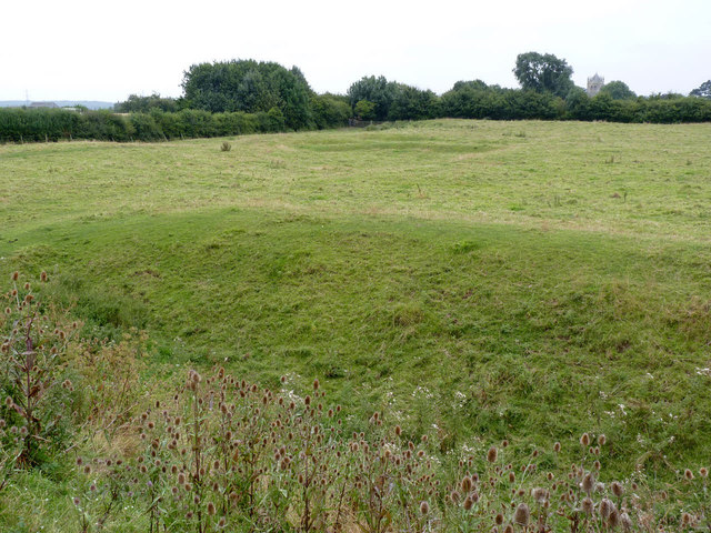
Laxton Castle represents the largest and most complete motte and bailey castle in Nottinghamshire. It would have been built fairly soon after the Norman conquest, although detailed chronology is not clear. The large outer bailey was certainly added a at a later date than the original motte and inner bailey.
The castle consists of a motte, roughly 75 metres in diameter at its base, surrounded by a substantial ditch. The extra mound on top of the motte is now thought to be part of the landscaping of the site in the 17th century (see below).
To the south of the motte lies the inner bailey, roughly 100 metres square. This is surrounded by a bank and deep ditch, with a slight counter-bank beyond the ditch. The main bank includes fragments of masonry which point to the bailey having been surrounded with a curtain wall.
South of the inner bailey, and extending significantly eastwards, lies the outer bailey, approximately 170 metres square. Although this post-dates the inner bailey, it has been constructed to form an integral set of defences with it. This bailey too was surrounded by a bank and ditch, most of which remains, except on the south side. It is speculated that this part of the bank was removed in the post-Medieval period to provide a view of the village itself from the later manor house.
By the 13th century, a manorial hall had been built in the precincts of the castle, which gradually would have become less defensive. A map of 1635 shows the presence of a manor house within the inner bailey, with the remainder of the castle precinct reworked as landscaped gardens. The mound on top of the motte is likely to date from this remodelling, built to allow a high level viewpoint over the gardens. The map also indicates a large area to the east of the outer bailey - effectively the area covered by the modern cricket field - taken into the immediate grounds, but not as any sort of defensive measure.
This information is largely summarised from this website about the castle Link. The castle site is a Scheduled Monument.
 Map © Crown Copyright")
- Grid Square
- SK7267, 159 images (more nearby 🔍)
- Photographer
- Alan Murray-Rust (more nearby)
- Date Taken
- Friday, 8 August, 2014 (more nearby)
- Submitted
- Wednesday, 13 August, 2014
- Subject Location
-
OSGB36:
 SK 7205 6746 [10m precision]
WGS84: 53:11.9608N 0:55.3735W - Camera Location
-
OSGB36: SK 7202 6753
- View Direction
- South-southeast (about 157 degrees)