2014
TL1087 : Strip plantation west of Lutton
taken 10 years ago, near to Lutton, North Northamptonshire, England
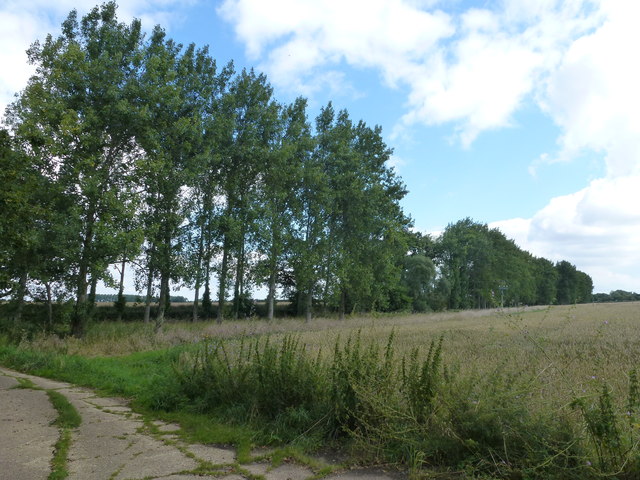
Strip plantation west of Lutton
This plantation of Poplar trees runs alongside Polebrook Road
 Map © Crown Copyright")
TIP: Click the map for more Large scale mapping
- Grid Square
- TL1087, 7 images (more nearby 🔍)
- Photographer
- Richard Humphrey (more nearby)
- Date Taken
- Friday, 15 August, 2014 (more nearby)
- Submitted
- Saturday, 16 August, 2014
- Subject Location
-
OSGB36:
 TL 1026 8743 [10m precision]
WGS84: 52:28.4205N 0:22.6876W - Camera Location
-
OSGB36: TL 1022 8739
- View Direction
- Northeast (about 45 degrees)