2014
NT5084 : Ditch and path, Archerfield
taken 10 years ago, near to Dirleton, East Lothian, Scotland
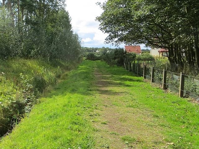
Ditch and path, Archerfield
Surviving woodland and a straighened out Eel Burn at Archerfield next to the rich golfers' scheme.
 Map © Crown Copyright")
TIP: Click the map for more Large scale mapping
- Grid Square
- NT5084, 48 images (more nearby 🔍)
- Photographer
- Richard Webb (more nearby)
- Date Taken
- Friday, 22 August, 2014 (more nearby)
- Submitted
- Sunday, 24 August, 2014
- Subject Location
-
OSGB36:
 NT 5087 8455 [10m precision]
WGS84: 56:3.0766N 2:47.4215W - Camera Location
-
OSGB36: NT 5090 8454
- View Direction
- West-northwest (about 292 degrees)