2014
TQ0550 : Field on chalk downland
taken 10 years ago, near to West Clandon, Surrey, England
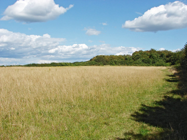
Field on chalk downland
One of the fields on top of the ridge between Dean Bottom and the A246.
 Map © Crown Copyright")
TIP: Click the map for more Large scale mapping
- Grid Square
- TQ0550, 24 images (more nearby 🔍)
- Photographer
- Alan Hunt (more nearby)
- Date Taken
- Tuesday, 19 August, 2014 (more nearby)
- Submitted
- Monday, 25 August, 2014
- Subject Location
-
OSGB36:
 TQ 0518 5037 [10m precision]
WGS84: 51:14.5692N 0:29.6743W - Camera Location
-
OSGB36: TQ 0510 5032
- View Direction
- Northeast (about 45 degrees)