2014
TM4152 : Public footpath at the edge of Tunstall Forest, Sudbourne
taken 10 years ago, near to Sudbourne, Suffolk, England
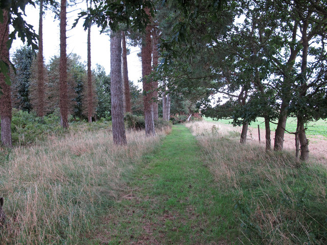
Public footpath at the edge of Tunstall Forest, Sudbourne
Arable land to the right of this section of the forest.
 Map © Crown Copyright")
TIP: Click the map for more Large scale mapping
- Grid Square
- TM4152, 28 images (more nearby 🔍)
- Photographer
- Roger Jones (more nearby)
- Date Taken
- Saturday, 23 August, 2014 (more nearby)
- Submitted
- Tuesday, 26 August, 2014
- Subject Location
-
OSGB36:
 TM 4163 5203 [10m precision]
WGS84: 52:6.8254N 1:31.6614E - Camera Location
-
OSGB36: TM 4156 5206
- View Direction
- East-southeast (about 112 degrees)