2014
TM4353 : Ferry Road near Airey Cottages, Sudbourne
taken 10 years ago, near to High Street, Suffolk, England
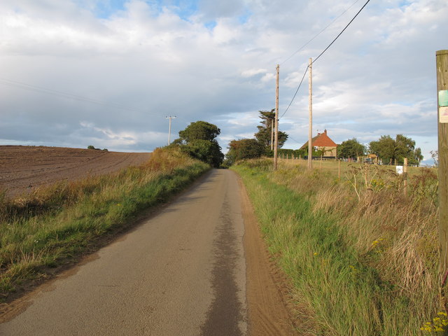
Ferry Road near Airey Cottages, Sudbourne
Road running through mixed farmland to the river Alde.
 Map © Crown Copyright")
TIP: Click the map for more Large scale mapping
- Grid Square
- TM4353, 18 images (more nearby 🔍)
- Photographer
- Roger Jones (more nearby)
- Date Taken
- Saturday, 23 August, 2014 (more nearby)
- Submitted
- Tuesday, 26 August, 2014
- Subject Location
-
OSGB36:
 TM 4320 5363 [10m precision]
WGS84: 52:7.6455N 1:33.1029E - Camera Location
-
OSGB36: TM 4316 5360
- View Direction
- Northeast (about 45 degrees)