2014
SP2107 : Track to the northern end of Broughtondowns Plantation
taken 10 years ago, near to Eastleach Martin, Gloucestershire, England
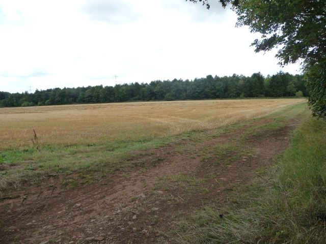
Track to the northern end of Broughtondowns Plantation
Running west along the northern boundary of a field.
 Map © Crown Copyright")
TIP: Click the map for more Large scale mapping
- Grid Square
- SP2107, 12 images (more nearby 🔍)
- Photographer
- Christine Johnstone (more nearby)
- Date Taken
- Friday, 22 August, 2014 (more nearby)
- Submitted
- Thursday, 28 August, 2014
- Subject Location
-
OSGB36:
 SP 2133 0738 [10m precision]
WGS84: 51:45.8819N 1:41.5395W - Camera Location
-
OSGB36: SP 2136 0739
- View Direction
- West-southwest (about 247 degrees)