2014
SP2011 : Harvested wheatfield, north-east of Leyes Farm
taken 10 years ago, near to Little Barrington, Gloucestershire, England
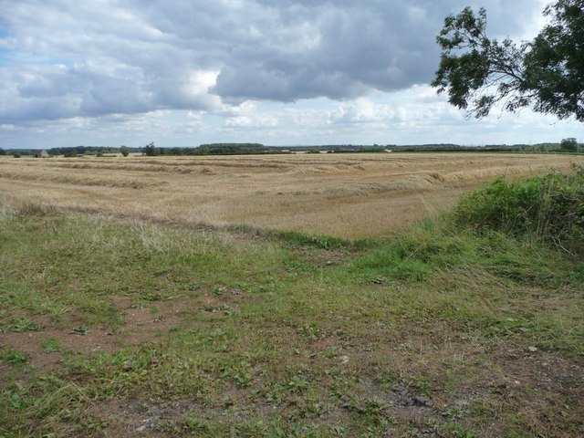
Harvested wheatfield, north-east of Leyes Farm
Taken from the entrance on the east side of the road to the Barringtons.
 Map © Crown Copyright")
TIP: Click the map for more Large scale mapping
- Grid Square
- SP2011, 12 images (more nearby 🔍)
- Photographer
- Christine Johnstone (more nearby)
- Date Taken
- Friday, 22 August, 2014 (more nearby)
- Submitted
- Saturday, 30 August, 2014
- Subject Location
-
OSGB36:
 SP 2065 1142 [10m precision]
WGS84: 51:48.0628N 1:42.1163W - Camera Location
-
OSGB36: SP 2063 1144
- View Direction
- Southeast (about 135 degrees)