2014
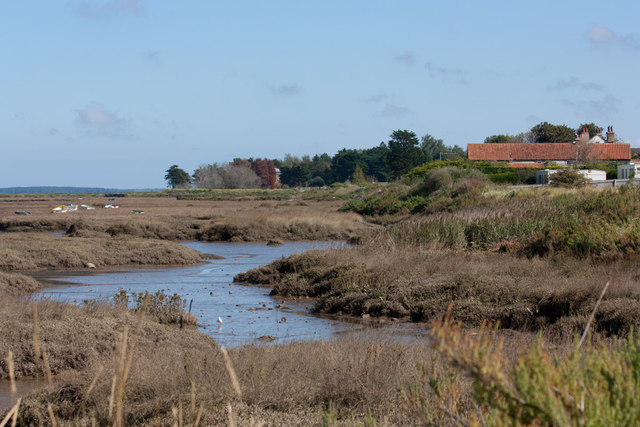
TF7944 : Norfolk Coast Path
taken 10 years ago, near to Brancaster Staithe, Norfolk, England
This is 1 of 3 images, with title Norfolk Coast Path in this square
Norfolk Coast Path
Skirting the saltmarsh at Brancaster Staithe.
 Map © Crown Copyright")
TIP: Click the map for more Large scale mapping
- Grid Square
- TF7944, 219 images (more nearby 🔍)
- Photographer
- Pauline E (more nearby)
- Date Taken
- Friday, 12 September, 2014 (more nearby)
- Submitted
- Thursday, 18 September, 2014
- Subject Location
-
OSGB36:
 TF 79604 44432 [1m precision]
WGS84: 52:58.0297N 0:40.3775E - Camera Location
-
OSGB36: TF 79379 44434
- View Direction
- EAST (about 90 degrees)