2014
NM4139 : Track to Cragaig
taken 10 years ago, 5 km WSW of Oskamull, Isle of Mull, Argyll And Bute, Scotland
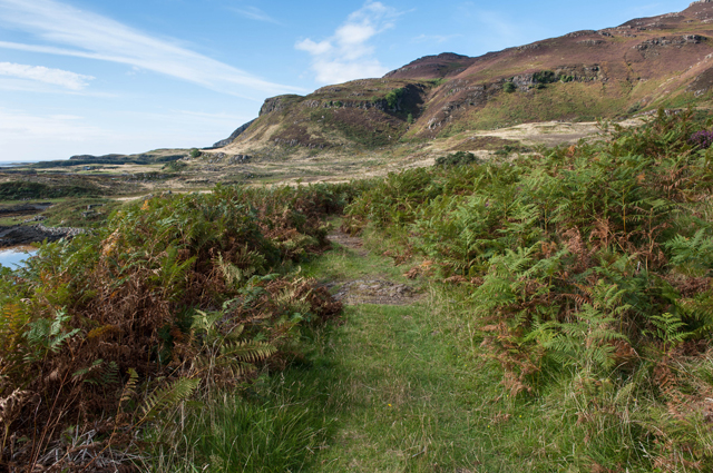
Track to Cragaig
The old mill is just around the corner
 Map © Crown Copyright")
TIP: Click the map for more Large scale mapping
- Grid Square
- NM4139, 6 images (more nearby 🔍)
- Photographer
- Tom Richardson (more nearby)
- Date Taken
- Tuesday, 16 September, 2014 (more nearby)
- Submitted
- Tuesday, 23 September, 2014
- Subject Location
-
OSGB36:
 NM 4101 3902 [10m precision]
WGS84: 56:28.3131N 6:12.4165W - Camera Location
-
OSGB36: NM 4102 3901
- View Direction
- North-northwest (about 337 degrees)