2014
SX4859 : The inner archway of Crownhill Fort
taken 10 years ago, near to Crownhill, Plymouth, England
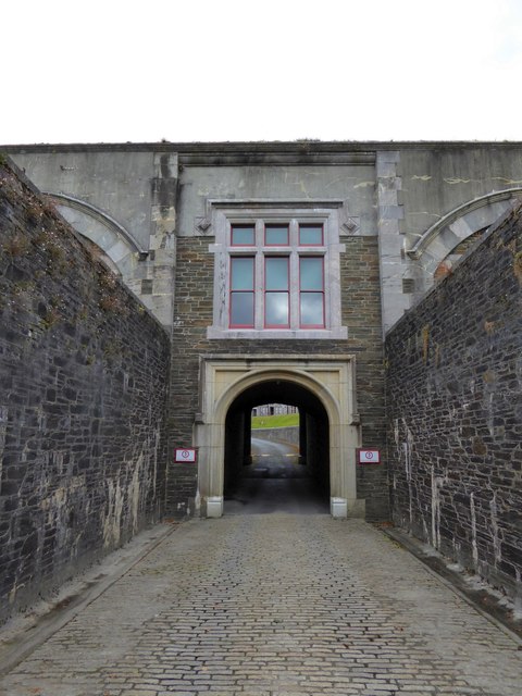
The inner archway of Crownhill Fort
The fort (a Palmerston Fort) is approached from the south through two archways. This is seen from the passage between them
 Map © Crown Copyright")
TIP: Click the map for more Large scale mapping
- Grid Square
- SX4859, 76 images (more nearby 🔍)
- Photographer
- David Smith (more nearby)
- Date Taken
- Friday, 26 September, 2014 (more nearby)
- Submitted
- Friday, 26 September, 2014
- Subject Location
-
OSGB36:
 SX 4874 5916 [10m precision]
WGS84: 50:24.7670N 4:7.8156W - Camera Location
-
OSGB36: SX 4874 5914
- View Direction
- NORTH (about 0 degrees)