2014
TL7957 : Chedburgh Village Name sign
taken 10 years ago, near to Chedburgh, Suffolk, England
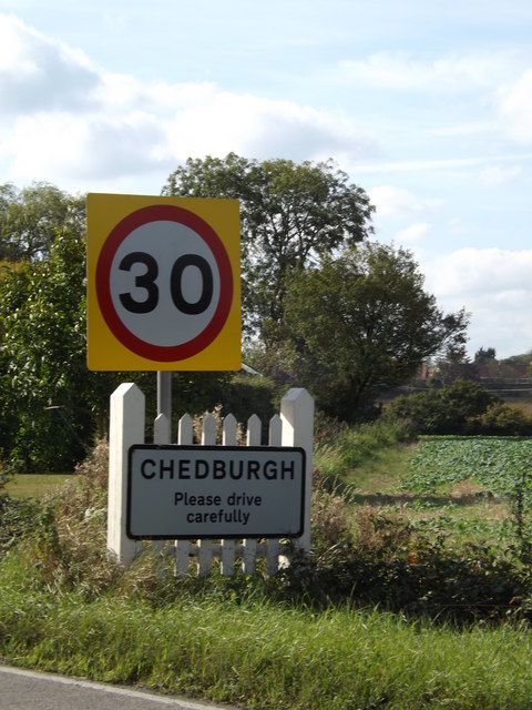
Chedburgh Village Name sign
On the A143 Bury Road
A143 Road
The A143 is a road that runs from the Gorleston-on-Sea area of Great Yarmouth in Norfolk to Haverhill in Suffolk.
For much of the route (between Gorleston-on-Sea and Bury St Edmunds) the road is classified as a primary route. Over the years the road has been much improved with new bypasses opening at regular intervals, the last of these being the Broome and Ellingham bypass in March 2002.
This extract uses material from the Wikipedia article "A143 road" Linkwhich is released under the Creative Commons Attribution-Share-Alike Licence 3.0 Link
 Map © Crown Copyright")
TIP: Click the map for more Large scale mapping
- Grid Square
- TL7957, 13 images (more nearby 🔍)
- Photographer
- Geographer (more nearby)
- Date Taken
- Friday, 3 October, 2014 (more nearby)
- Submitted
- Sunday, 5 October, 2014
- Subject Location
-
OSGB36:
 TL 79839 57574 [1m precision]
WGS84: 52:11.2250N 0:37.7606E - Camera Location
-
OSGB36: TL 79845 57572
- View Direction
- WEST (about 270 degrees)