2014
TQ2778 : King's Rd
taken 10 years ago, near to Chelsea, Kensington And Chelsea, England
This is 1 of 3 images, with title King's Rd in this square
King's Rd
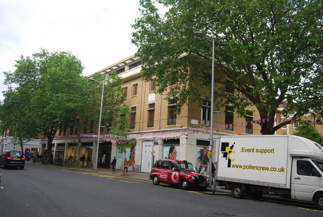
King's Road, Chelsea
King's Road or Kings Road (or sometimes The King's Road, especially when it was the King's private road until 1830), is a major street stretching through Chelsea and Fulham, both in west London. It is associated with 1960s style, and fashion figures such as Mary Quant and Vivienne Westwood.
Wikipedia: Link
A3217 Road
The A3217 runs 2.3 miles from Victoria Station to Chelsea in West London. Much of its route is the famous King's Rd
Link
 Map © Crown Copyright")
TIP: Click the map for more Large scale mapping
- Grid Square
- TQ2778, 786 images (more nearby 🔍)
- Photographer
- N Chadwick (more nearby)
- Date Taken
- Saturday, 24 May, 2014 (more nearby)
- Submitted
- Monday, 6 October, 2014
- Subject Location
-
OSGB36:
 TQ 2786 7854 [10m precision]
WGS84: 51:29.4815N 0:9.5819W - Camera Location
-
OSGB36: TQ 2782 7854
- View Direction
- EAST (about 90 degrees)