2014
TA1824 : Paull Holme stays flood embankment
taken 10 years ago, near to Paull, East Riding of Yorkshire, England
This is 1 of 8 images, with title starting with Paull Holme in this square
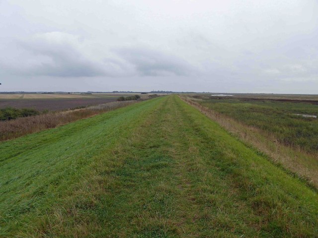
Paull Holme stays flood embankment
 Map © Crown Copyright")
TIP: Click the map for more Large scale mapping
- Grid Square
- TA1824, 45 images (more nearby 🔍)
- Photographer
- Steve Fareham (more nearby)
- Date Taken
- Tuesday, 7 October, 2014 (more nearby)
- Submitted
- Tuesday, 7 October, 2014
- Subject Location
-
OSGB36:
 TA 1853 2450 [10m precision]
WGS84: 53:42.2090N 0:12.3557W - Camera Location
-
OSGB36: TA 1847 2456
- View Direction
- Southeast (about 135 degrees)