2014
TQ0649 : West Hanger woods
taken 10 years ago, near to Shere, Surrey, England
This is 1 of 3 images, with title West Hanger woods in this square
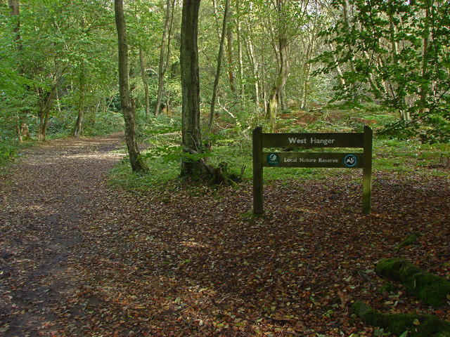
West Hanger woods
The Surrey Wildlife Trust's woods at West Hanger on the North Downs between Guildford and Dorking.
 Map © Crown Copyright")
TIP: Click the map for more Large scale mapping
- Grid Square
- TQ0649, 61 images (more nearby 🔍)
- Photographer
- Alan Hunt (more nearby)
- Date Taken
- Sunday, 5 October, 2014 (more nearby)
- Submitted
- Wednesday, 8 October, 2014
- Subject Location
-
OSGB36:
 TQ 0634 4919 [10m precision]
WGS84: 51:13.9199N 0:28.6986W - Camera Location
-
OSGB36: TQ 0632 4918
- View Direction
- East-northeast (about 67 degrees)