2014
SK1378 : A623 passing Torr Farm
taken 10 years ago, near to Wheston, Derbyshire, England
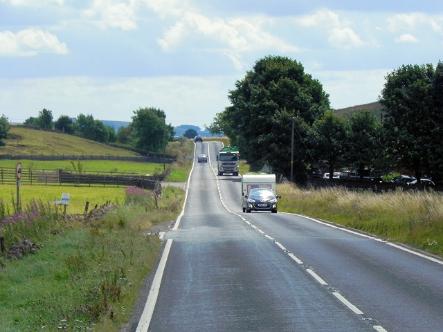
A623 passing Torr Farm
The A623 is one of the main east-west roads across the Peak District. It runs for approximately 14 miles between the roundabout junction with the A6 near Chapel en le Frith (SK0779 : A6/A623 Junction near Dove Holes) and Baslow where it meets the A619.
See other images of The A623
See other images of The A623
 Map © Crown Copyright")
TIP: Click the map for more Large scale mapping
- Grid Square
- SK1378, 30 images (more nearby 🔍)
- Photographer
- David Dixon (more nearby)
- Date Taken
- Monday, 4 August, 2014 (more nearby)
- Submitted
- Sunday, 12 October, 2014
- Subject Location
-
OSGB36:
 SK 1341 7812 [10m precision]
WGS84: 53:17.9919N 1:48.0150W - Camera Location
-
OSGB36: SK 1333 7818
- View Direction
- Southeast (about 135 degrees)