2014
NY6366 : Hadrian's Wall Path at Gilsland
taken 10 years ago, near to Gilsland, Northumberland, England
This is 1 of 4 images, with title Hadrian's Wall Path at Gilsland in this square
Hadrian's Wall Path at Gilsland
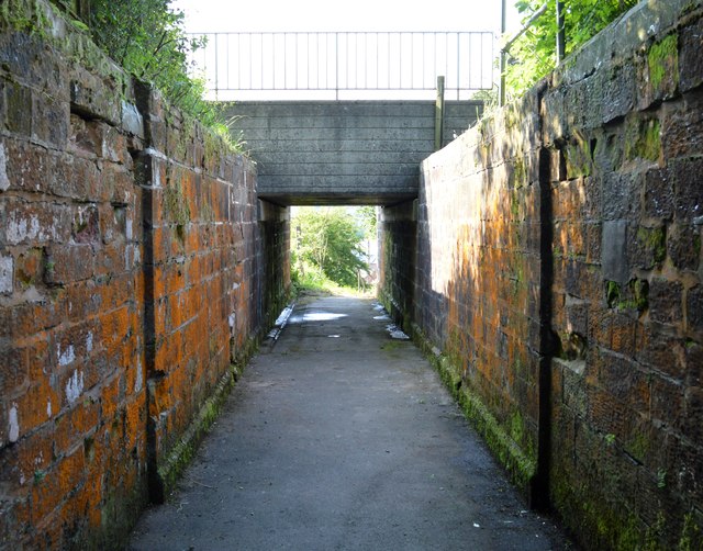
This heavy looking concrete overbridge carries the Newcastle to Carlisle railway over what used to be access to Gilsland Station which closed in 1967.
 Map © Crown Copyright")
TIP: Click the map for more Large scale mapping
- Grid Square
- NY6366, 151 images (more nearby 🔍)
- Photographer
- Bobby Clegg (more nearby)
- Date Taken
- Wednesday, 18 June, 2014 (more nearby)
- Submitted
- Thursday, 16 October, 2014
- Subject Location
-
OSGB36:
 NY 6353 6630 [10m precision]
WGS84: 54:59.3966N 2:34.2900W - Camera Location
-
OSGB36: NY 6353 6629
- View Direction
- North-northwest (about 337 degrees)