2014
SU1614 : Godshill, bridleway
taken 9 years ago, near to Stuckton, Hampshire, England
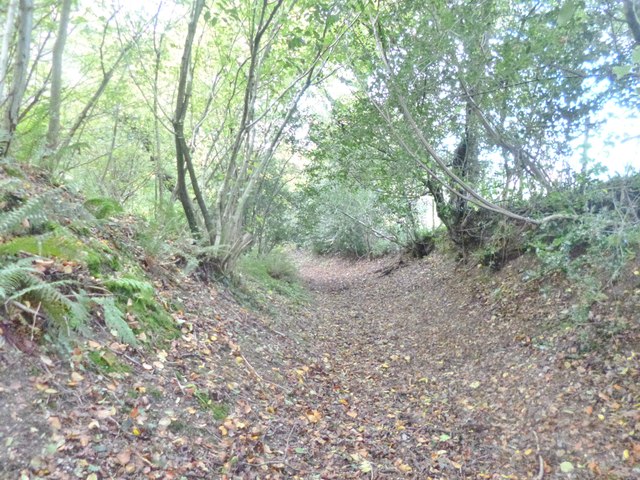
Godshill, bridleway
Through woodland parallel to Southampton Road, avoiding the pathless road; the path forms a hollow way, and might be an ancient route.
 Map © Crown Copyright")
TIP: Click the map for more Large scale mapping
- Grid Square
- SU1614, 33 images (more nearby 🔍)
- Photographer
- Mike Faherty (more nearby)
- Date Taken
- Sunday, 19 October, 2014 (more nearby)
- Submitted
- Sunday, 19 October, 2014
- Subject Location
-
OSGB36:
 SU 1642 1428 [10m precision]
WGS84: 50:55.6645N 1:46.0642W - Camera Location
-
OSGB36: SU 1642 1428
- View Direction
- WEST (about 270 degrees)