2014
TF8023 : Crop fields on Great Massingham airfield
taken 9 years ago, near to Great Massingham, Norfolk, England
This is 1 of 2 images, with title Crop fields on Great Massingham airfield in this square
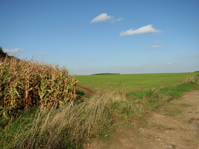
Crop fields on Great Massingham airfield
The fields adjoin the SW/NE runway of RAF Great Massingham which was an active airfield during WW2.
RAF Great Massingham
RAF Great Massingham was opened in September 1940 as a satellite airfield for the nearby aerodrome at West Raynham and used by 100 Group RAF, Bomber Support. The flying field retains its concrete runways which are still being used by private aircraft, and the original perimeter track. A handful of buildings have survived on one of the aerodrome's dispersed sites. The station was closed in April 1946 and sold off in April 1958. It has since reverted back to agriculture. See also: Link
 Map © Crown Copyright")
TIP: Click the map for more Large scale mapping
- Grid Square
- TF8023, 39 images (more nearby 🔍)
- Photographer
- Evelyn Simak (more nearby)
- Date Taken
- Monday, 27 October, 2014 (more nearby)
- Submitted
- Wednesday, 29 October, 2014
- Subject Location
-
OSGB36:
 TF 8041 2327 [10m precision]
WGS84: 52:46.6120N 0:40.3938E - Camera Location
-
OSGB36: TF 8038 2309
- View Direction
- NORTH (about 0 degrees)