2014
NZ0682 : East side of Standing Stone at The Poind & His Man
taken 12 years ago, near to Middleton Bank Top, Northumberland, England
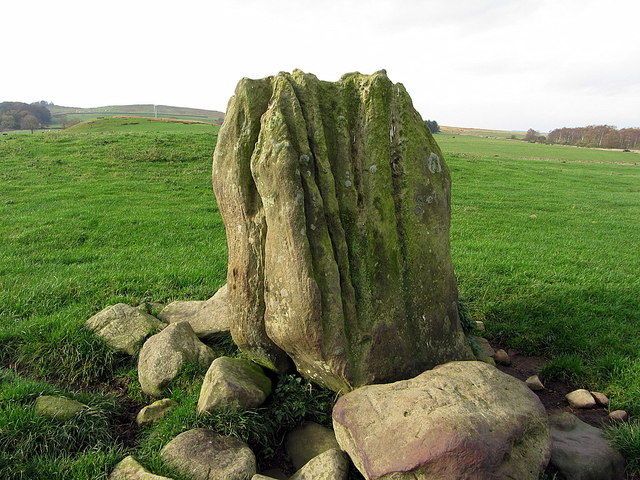
East side of Standing Stone at The Poind & His Man
See description here NZ0682 : The Poind & His Man
The Roman road, known as The Devil's Causeway, passes diagonally through the field just behind the stone but is little visible. The raised part of the field has the place-name, Humlie Dod.
The Roman road, known as The Devil's Causeway, passes diagonally through the field just behind the stone but is little visible. The raised part of the field has the place-name, Humlie Dod.


TIP: Click the map for more Large scale mapping
- Grid Square
- NZ0682, 27 images (more nearby 🔍)
- Photographer
- Andrew Curtis (more nearby)
- Date Taken
- Friday, 31 October, 2014 (more nearby)
- Submitted
- Friday, 31 October, 2014
- Subject Location
-
OSGB36:
 NZ 0658 8210
[10m precision]
WGS84: 55:7.9935N 1:53.9002W - Camera Location
-
OSGB36:
NZ 06584 82100
- View Direction
- West-southwest (about 247 degrees)


