2014
SK6338 : A52, Radcliffe on Trent Bypass
taken 10 years ago, near to Holme Pierrepont, Nottinghamshire, England
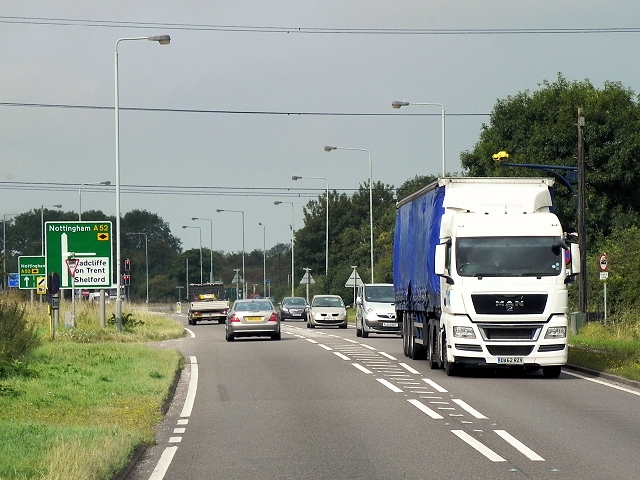
A52, Radcliffe on Trent Bypass
The A52 is a major east-west road in the East Midlands. It runs east from a junction with the A53 at Newcastle-under-Lyme near Stoke-on-Trent (just east of the M6) to the Lincolnshire coast at Mablethorpe. Running for approximately 147 miles, its route passes via Ashbourne, Derby, Stapleford, Nottingham, West Bridgford, Bingham, Grantham, Boston and Skegness.
See other images of The A52
See other images of The A52
 Map © Crown Copyright")
TIP: Click the map for more Large scale mapping
- Grid Square
- SK6338, 34 images (more nearby 🔍)
- Photographer
- David Dixon (more nearby)
- Date Taken
- Friday, 8 August, 2014 (more nearby)
- Submitted
- Saturday, 1 November, 2014
- Subject Location
-
OSGB36:
 SK 6377 3866 [10m precision]
WGS84: 52:56.4931N 1:3.1511W - Camera Location
-
OSGB36: SK 6386 3867
- View Direction
- WEST (about 270 degrees)