2014
NS3857 : Dam: Barcraigs/Rowbank
taken 10 years ago, 3 km from Howwood, Renfrewshire, Scotland
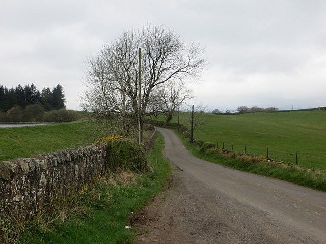
Dam: Barcraigs/Rowbank
One of a pair of reservoirs, the dam was built in 1916. One of these places that seems to have alternative names.
 Map © Crown Copyright")
TIP: Click the map for more Large scale mapping
- Grid Square
- NS3857, 22 images (more nearby 🔍)
- Photographer
- Richard Webb (more nearby)
- Date Taken
- Friday, 25 April, 2014 (more nearby)
- Submitted
- Monday, 3 November, 2014
- Subject Location
-
OSGB36:
 NS 3873 5783 [10m precision]
WGS84: 55:47.2078N 4:34.4076W - Camera Location
-
OSGB36: NS 3878 5784
- View Direction
- West-southwest (about 247 degrees)