2011
SO3530 : Field near Cwmdulas Farm
taken 13 years ago, near to Lower Maes-Coed, County of Herefordshire, England
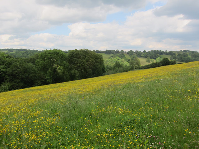
Field near Cwmdulas Farm
 Map © Crown Copyright")
TIP: Click the map for more Large scale mapping
- Grid Square
- SO3530, 14 images (more nearby 🔍)
- Photographer
- Hugh Venables (more nearby)
- Date Taken
- Monday, 6 June, 2011 (more nearby)
- Submitted
- Friday, 7 November, 2014
- Subject Location
-
OSGB36:
 SO 3531 3050 [10m precision]
WGS84: 51:58.1515N 2:56.5832W - Camera Location
-
OSGB36: SO 3521 3046
- View Direction
- East-northeast (about 67 degrees)