2014
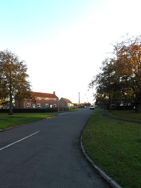
TM1782 : Catchpole Walk, Dickleburgh
taken 9 years ago, near to Dickleburgh, Norfolk, England
This is 1 of 2 images, with title Catchpole Walk, Dickleburgh in this square
 Map © Crown Copyright")
TIP: Click the map for more Large scale mapping
- Grid Square
- TM1782, 61 images (more nearby 🔍)
- Photographer
- Geographer (more nearby)
- Date Taken
- Tuesday, 4 November, 2014 (more nearby)
- Submitted
- Saturday, 8 November, 2014
- Subject Location
-
OSGB36:
 TM 17201 82401 [1m precision]
WGS84: 52:23.7904N 1:11.4627E - Camera Location
-
OSGB36: TM 17201 82401
- View Direction
- South-southeast (about 157 degrees)