2014
TM1785 : Semere Lane, Tivetshall St Mary
taken 9 years ago, near to Tivetshall st Mary, Norfolk, England
This is 1 of 3 images, with title Semere Lane, Tivetshall St Mary in this square
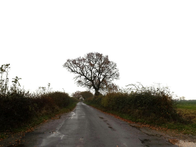
Semere Lane, Tivetshall St Mary
At the junction with the A140 Ipswich Road
Road No.C360
Road No.C360
 Map © Crown Copyright")
TIP: Click the map for more Large scale mapping
- Grid Square
- TM1785, 76 images (more nearby 🔍)
- Photographer
- Geographer (more nearby)
- Date Taken
- Saturday, 22 November, 2014 (more nearby)
- Submitted
- Wednesday, 26 November, 2014
- Subject Location
-
OSGB36:
 TM 17852 85277 [1m precision]
WGS84: 52:25.3238N 1:12.1481E - Camera Location
-
OSGB36: TM 17852 85277
- View Direction
- EAST (about 90 degrees)