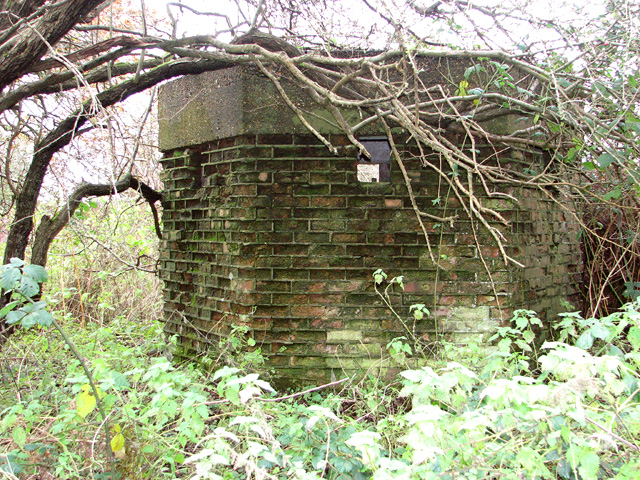
TF8325 : Air Ministry pillbox
taken 9 years ago, 3 km from Pockthorpe, Norfolk, England
RAF West Raynham was opened in May 1939 and initially formed part of 2 Group RAF, Bomber Command. In December 1943 the station was taken over by 100 Group, Bomber Support, and in the 1950s it came under the Central Fighter Establishment. In the mid-1960s, Bloodhound missiles and associated radars were installed on the eastern side of the flying field.
The airfield was closed in June 1994, and in 2004 it was decided that the base would play no future role in the defence of the country. It was sold in 2006, and in 2008 planning permission was granted for the construction of 58 houses and for the hangars to be converted into 20 loft-style holiday apartments.
Sadly, a proposal for listing the C-type hangars as well as the Parachute store, Sick quarters, Water tower, Heating plant, Station headquarters and a number of other substantial buildings on the Technical site was withdrawn by English Heritage.
The site is currently managed by FW Properties of Norwich and a number of residential buildings have since been renovated for private use whilst most of the buildings on the Technical site are in industrial use. In 2014, planning permission was obtained by Good Energy for the installation of a 49.9MW solar farm on the flying field. See also: Link
This shared description about RAF West Raynham was compiled by Evelyn Simak.
 Map © Crown Copyright")
- Grid Square
- TF8325, 18 images (more nearby 🔍)
- Photographer
- Evelyn Simak (more nearby)
- Date Taken
- Sunday, 30 November, 2014 (more nearby)
- Submitted
- Sunday, 30 November, 2014
- Subject Location
-
OSGB36:
 TF 8359 2511 [10m precision]
WGS84: 52:47.5391N 0:43.2810E - Camera Location
-
OSGB36: TF 8357 2510
- View Direction
- East-northeast (about 67 degrees)