2014
SU9359 : Pirbright range danger area
taken 9 years ago, near to Donkey Town, Surrey, England
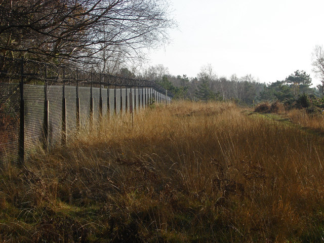
Pirbright range danger area
The view through the gate at the end of Lucas Green Road looking along the fence line that separates the RDA from West End Common.
 Map © Crown Copyright")
TIP: Click the map for more Large scale mapping
- Grid Square
- SU9359, 36 images (more nearby 🔍)
- Photographer
- Alan Hunt (more nearby)
- Date Taken
- Saturday, 29 November, 2014 (more nearby)
- Submitted
- Tuesday, 2 December, 2014
- Subject Location
-
OSGB36:
 SU 9349 5961 [10m precision]
WGS84: 51:19.6749N 0:39.5745W - Camera Location
-
OSGB36: SU 9347 5963
- View Direction
- South-southeast (about 157 degrees)