2014
NS1288 : Clach Bheinn
taken 9 years ago, 3 km from Bernice, Argyll And Bute, Scotland
This is 1 of 4 images, with title Clach Bheinn in this square
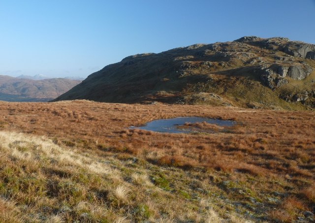
Clach Bheinn
 Map © Crown Copyright")
TIP: Click the map for more Large scale mapping
- Grid Square
- NS1288, 5 images (more nearby 🔍)
- Photographer
- Alan Reid (more nearby)
- Date Taken
- Tuesday, 2 December, 2014 (more nearby)
- Submitted
- Tuesday, 2 December, 2014
- Subject Location
-
OSGB36:
 NS 1251 8871 [10m precision]
WGS84: 56:3.2645N 5:0.7466W - Camera Location
-
OSGB36: NS 1201 8835
- View Direction
- Northeast (about 45 degrees)