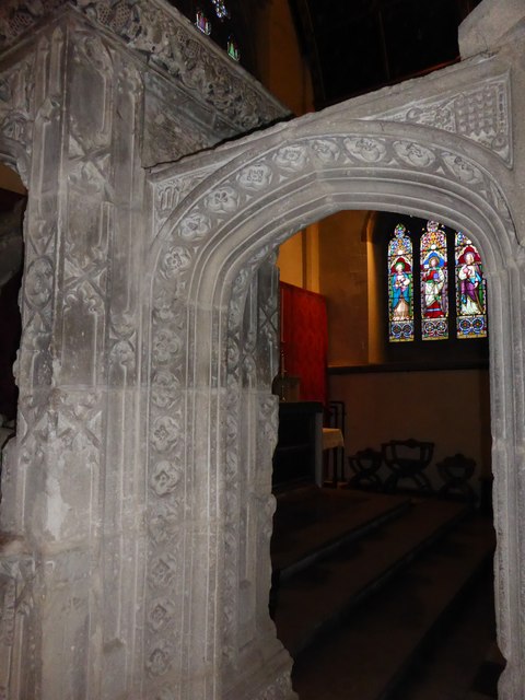
TF0307 : Church of St Mary: Medieval arch
taken 9 years ago, near to Stamford, Lincolnshire, England
See other images of Grade I Listed Churches in Stamford
Grade 1 listed building dating from the 13th Century, though a church was recorded here in 1146.
The English Heritage listing is here: Link
The 13th century tower includes a clock by Potts in 1890, which uses 5 of the 8 bells. The earliest bells (No 5 in B flat and No 7 in G) were cast by Tobie Norris in Stamford in 1625 and 1626 respectively. Tobie Norris' bell foundry is now a restaurant of the same name (TF0307 : Tobie Norris)
The church is still the centre of "High" or "Anglo-catholic" worship in Stamford, an innovation in 1890 by the Rev. St. John-Mildmay. The Stamford Mercury complained that he wanted... "to make the parish church look - as we understand it - a little more like a Popish mass-house Where will Mr. Mudmay end?" . But "High" church practices, and decoration, have survived at St Mary's and the church maintains a web site for the congregation at Linksubtitled "The Home of Anglo-Catholic Worship in South Lincolnshire"
 Map © Crown Copyright")
- Grid Square
- TF0307, 1081 images (more nearby 🔍)
- Photographer
- Bob Harvey (more nearby)
- Date Taken
- Saturday, 6 December, 2014 (more nearby)
- Submitted
- Saturday, 6 December, 2014
- Subject Location
-
OSGB36:
 TF 0304 0705 [10m precision]
WGS84: 52:39.0842N 0:28.6975W - Camera Location
-
OSGB36: TF 0304 0705
- View Direction
- South-southeast (about 157 degrees)